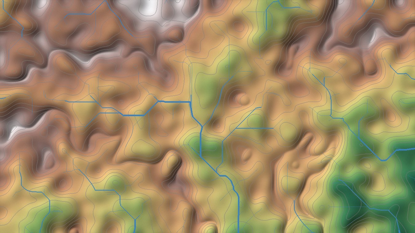
 Hypsometric DEM · 100 m contours · derived drainage
01 — Foundation
GIS & Spatial Analysis
Transform location-based data into meaningful information.
Our GIS services support planning, research, engineering, environmental management, infrastructure
and business applications through advanced spatial analysis and professional geospatial data
processing. The emphasis is on analytical rigour and clean, well-structured data — so the outputs
hold up under review and remain usable long after the project closes.
Capabilities
- Spatial, raster and vector analysis
- Suitability and multi-criteria analysis
- Terrain and topographic analysis
- Network and proximity analysis
- Geostatistical analysis
- Geodatabase development
- Georeferencing and digitization
- Spatial data conversion and integration
- High-quality thematic and analytical cartography
- Automated GIS workflows
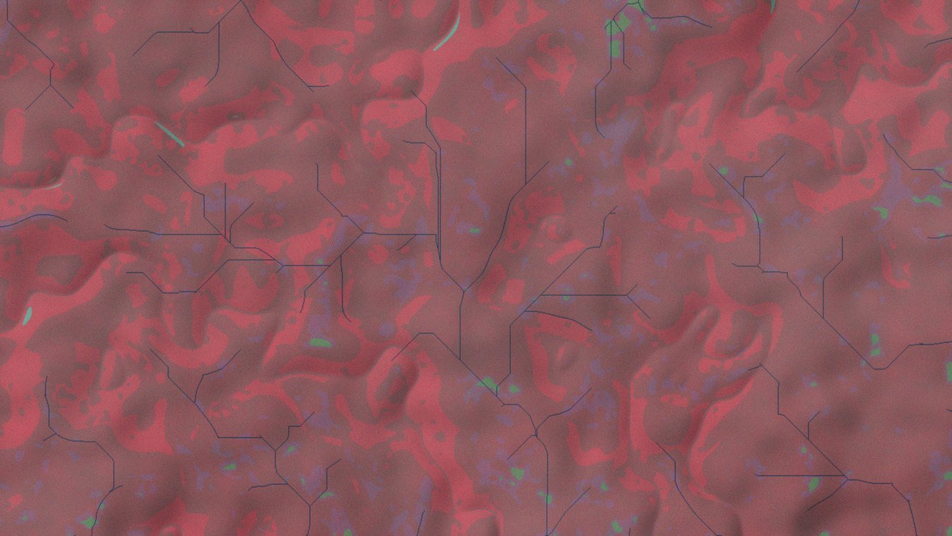 False-colour composite · NIR–Red–Green
02 — Earth Observation
Remote Sensing & Earth Observation
See change. Measure change. Understand change.
We turn satellite and Earth observation data into information that can be used for monitoring,
assessment and decision-making — whether that is a single-date land-cover map, a twenty-year
change-detection series, or an operational monitoring workflow that refreshes as new imagery lands.
Capabilities
- Satellite imagery processing
- Land-use and land-cover mapping
- Change detection
- Vegetation and environmental monitoring
- Image classification
- Spectral index analysis
- DEM and terrain analysis
- Time-series analysis
- Watershed and landscape assessment
- Google Earth Engine workflows
- Multi-source geospatial data integration
We work with appropriate open and commercial Earth observation datasets according to project
requirements — including Sentinel, Landsat, MODIS and high-resolution commercial imagery where the
analysis calls for it.
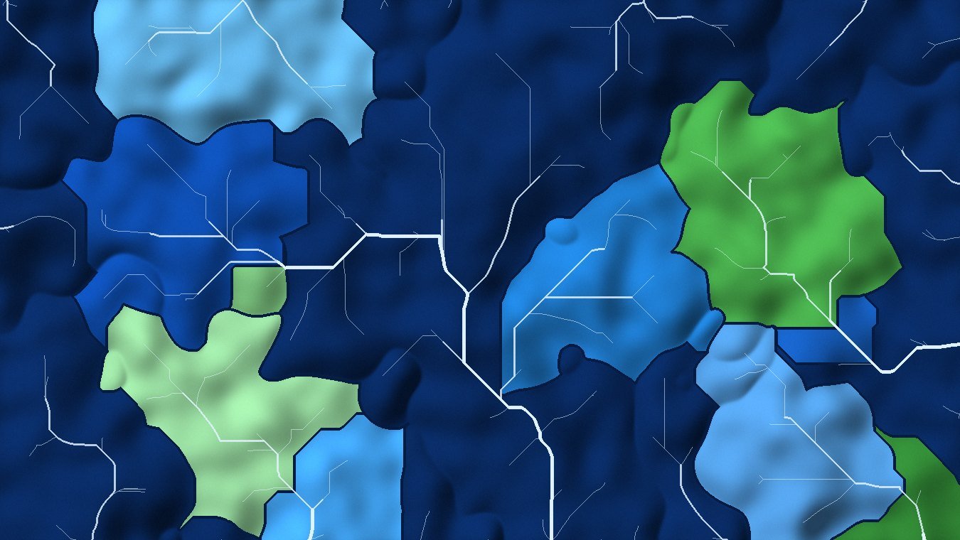 Sub-basin delineation from a conditioned DEM
03 — Environmental Intelligence
Water & Environmental Intelligence
From landscapes to watersheds.
Environmental systems are spatially complex. GISPromo integrates geospatial analysis with
environmental and hydrological modelling to understand how water, soil, terrain, land use and
climate interact across landscapes.
Watershed & Hydrological Analysis
- Watershed and sub-watershed delineation
- Drainage and stream-network analysis
- Flow direction and accumulation modelling
- DEM conditioning and hydrological preprocessing
- Terrain and catchment characterization
- Hydrological spatial analysis
- Flood and drainage-related geospatial assessment
- Watershed prioritization and decision-support mapping
Soil Erosion & Sediment Assessment
We develop scientifically structured workflows for evaluating erosion risk, sediment generation
and landscape connectivity.
- RUSLE-based soil erosion assessment
- InVEST Sediment Delivery Ratio modelling
- Sediment source and delivery analysis
- Erosion hotspot identification
- Sub-watershed comparison and prioritization
- Land-use contribution analysis
- Scenario-based erosion assessment
- Restoration and conservation planning support
Eco-Hydrological Modelling
We support integrated watershed studies using established modelling frameworks and geospatial
workflows, including SWAT / SWAT+, InVEST, RUSLE
and GIS-based hydrological modelling.
Our focus is not simply running models. We help structure input datasets, develop reproducible
workflows, interpret spatial outputs, and translate modelling results into information that
supports planning and management.
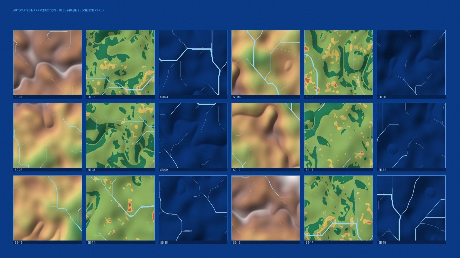 Batch map production · 18 sub-basins · one script run
04 — Efficiency & Intelligence
GeoAI & GIS Automation
Automate the repetitive. Focus on the decision.
Large geospatial projects often involve hundreds or thousands of repetitive processing steps.
GISPromo develops automated workflows that make geospatial analysis faster, more consistent and
reproducible — and that can be re-run by your own team when the data updates.
GIS Automation
- Python geospatial processing
- ArcPy development
- ArcGIS Pro workflow automation
- QGIS / PyQGIS automation
- Automated raster and vector processing
- Batch geoprocessing
- Automated map production
- Spatial database workflows
- Automated QA / QC
- Automated data extraction and transformation
- Custom geoprocessing tools
GeoAI
We explore the intersection of artificial intelligence, Earth observation and geospatial science
to develop more intelligent analytical workflows.
- AI-assisted spatial data processing
- Automated feature extraction
- Remote-sensing classification
- Intelligent geospatial data workflows
- Machine-learning-based spatial analysis
- Automated analytical reporting
- Decision-support systems
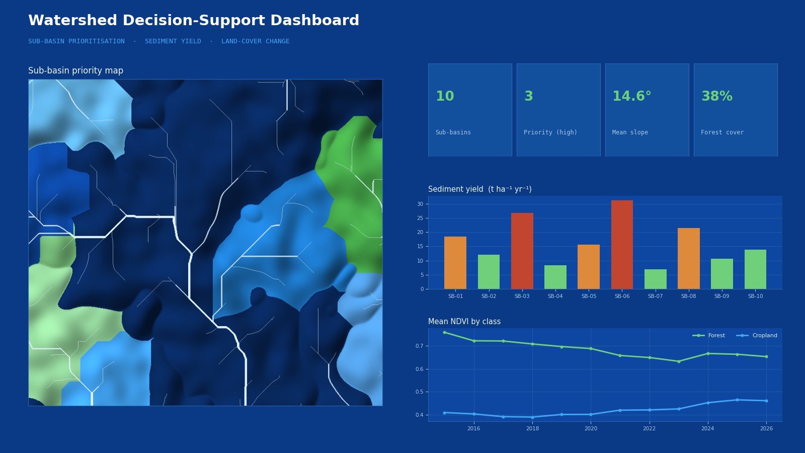 Spatial decision-support dashboard
05 — Delivery & Access
Web GIS & Geospatial Applications
Take GIS beyond the desktop.
GISPromo develops solutions that make spatial information easier to access, visualize and use.
The objective is to turn complex GIS outputs into systems that can be understood and used by
technical teams, managers and decision-makers alike.
Services
- Interactive Web GIS applications
- Online mapping platforms
- Spatial dashboards
- ArcGIS Online solutions
- Web maps and StoryMaps
- Geospatial databases
- Spatial APIs
- Customized GIS tools
- Environmental monitoring dashboards
- Decision-support applications
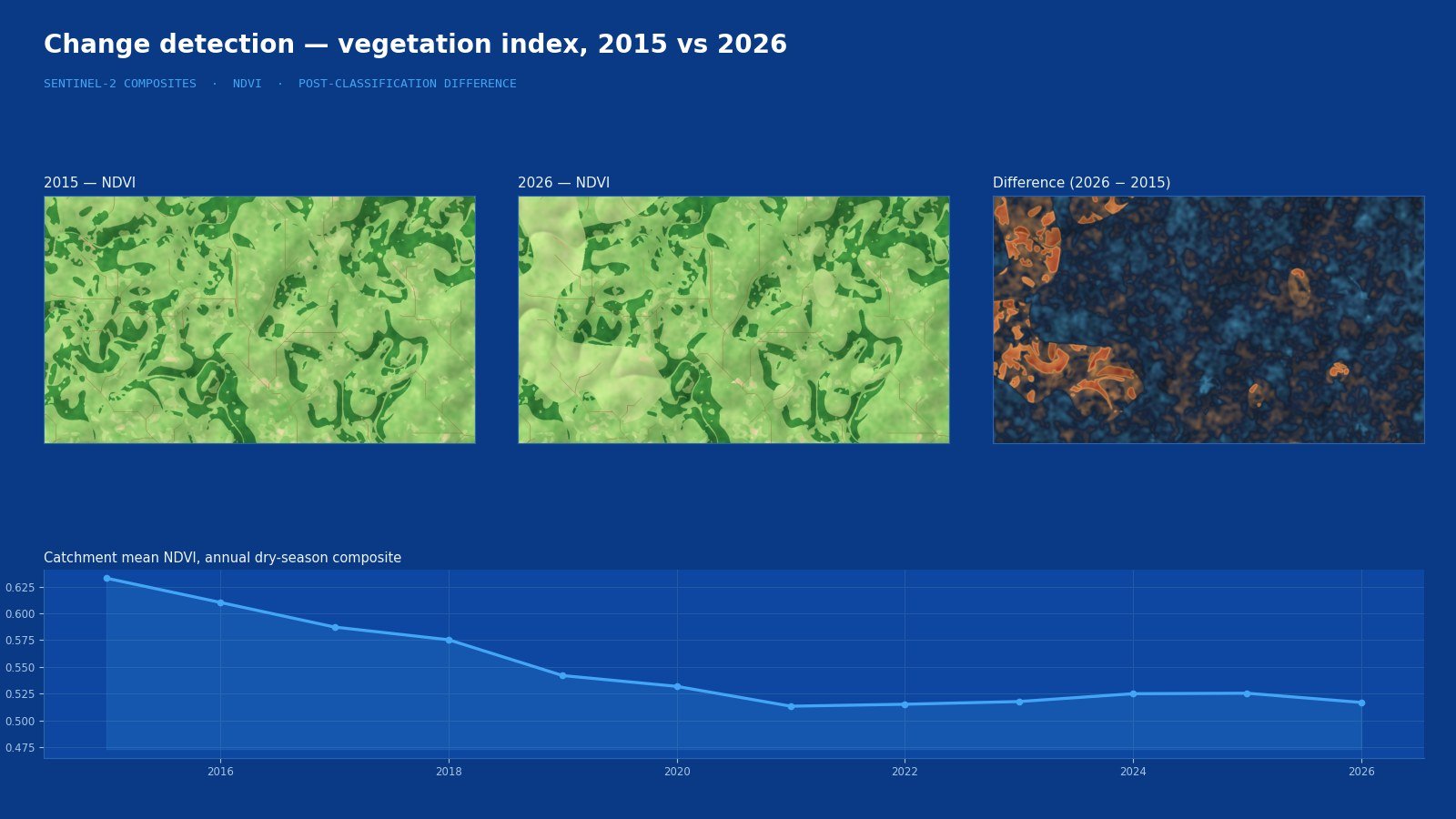 Change detection · vegetation index time series
06 — Beyond the Map
Data Analytics & Digital Solutions
More than maps.
Not every problem ends with a map. GISPromo combines geospatial technology with data processing,
programming and digital solutions to develop efficient workflows around client requirements.
Services
- Data cleaning and transformation
- Python-based data processing
- Database development
- Automated reporting
- Data visualization
- Dashboard development
- API and data integration
- Workflow automation
- Custom analytical tools
- Technical software solutions