Home / About

Why GISPromo

Beyond Mapping

A map should be the beginning of understanding — not the end of the analysis. GISPromo IT Solutions exists to close the distance between spatial data and the decisions it is supposed to inform.

Who We Are

Geospatial intelligence, engineered end to end

GISPromo IT Solutions delivers advanced geospatial and digital solutions that transform complex spatial data into clear, actionable intelligence. We combine GIS, Earth observation, environmental and hydrological modelling, spatial analytics, automation and software technologies to help organizations understand their environments, solve complex spatial problems, and make better-informed decisions.

From a single professional map to a complete geospatial modelling or decision-support workflow, we develop solutions around the problem — not simply the software.

What ties the work together is a refusal to stop at the output. A land-cover map is not the answer to a land-management question; a sediment model is not the answer to a catchment-investment question. The analysis is finished when someone can act on it.

At a Glance
  • DisciplinesGIS · Remote sensing · Hydrology · Environmental modelling · Data science
  • Technical stackArcGIS Pro · QGIS · Python / ArcPy / PyQGIS · Google Earth Engine · SWAT+ · InVEST · PostGIS
  • Working reachRemote delivery worldwide, with open-data-first workflows for data-scarce regions
  • Delivery styleDocumented methods, reproducible scripts, editable data — not just a finished picture
Our Principles

Six commitments that shape every project

Integrated Expertise

We bring together GIS, remote sensing, environmental science, hydrological modelling, programming and automation within a single analytical workflow — rather than handing a problem between separate specialists and losing context at every boundary.

Scientifically Grounded

Our analytical approaches are built around established geospatial and environmental methods, appropriate datasets and transparent assumptions. Where a method has known limits, we say so in the report rather than in a footnote.

Automation First

Where appropriate, we replace repetitive manual processing with scripted, reproducible workflows that improve consistency and efficiency — and remove the silent errors that manual repetition introduces.

Decision-Focused

We don't deliver complex datasets without context. We focus on turning analytical results into information that people can understand and use, with the uncertainty stated plainly.

Reproducible Workflows

Projects can include documented methodologies, structured datasets, editable GIS outputs, scripts and processing workflows where required — so the work can be audited, extended and re-run.

Tailored Solutions

Every spatial problem is different. We select the data, methodology and technology according to the client's objective rather than forcing every project into the same workflow.

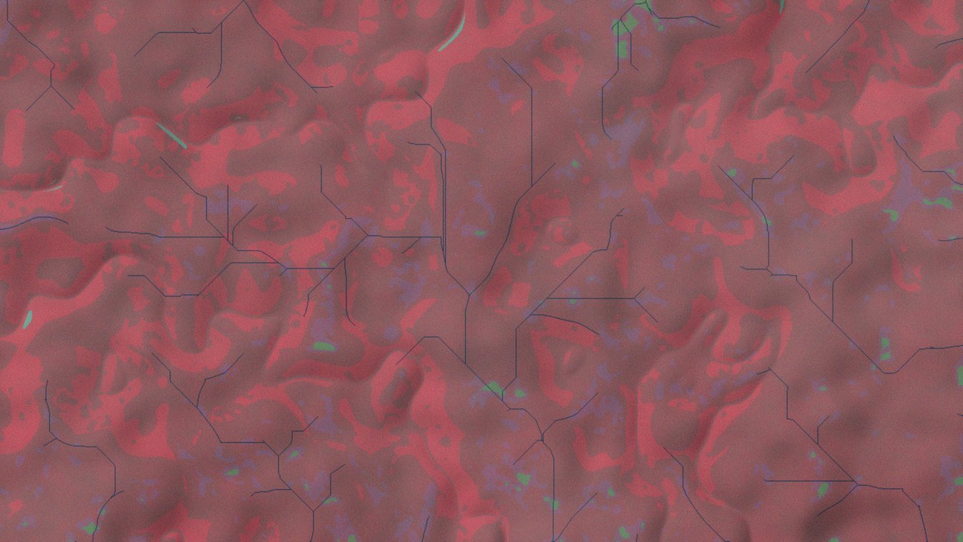
False-colour satellite composite of a catchment, vegetation rendered in red tones
A false-colour composite is not the deliverable. It is the first place a question becomes visible — which is where our work starts, not where it ends.
Who We Work With

A specialist capability that plugs into your team

GISPromo IT Solutions is positioned to support government agencies, engineering and environmental consultants, research institutions, universities, NGOs, international development organizations, businesses, researchers, startups and individual professionals.

We can contribute as a complete geospatial service provider, or integrate with multidisciplinary project teams requiring specialized GIS, remote sensing, modelling or automation expertise. In practice that ranges from producing a defined map series for a consultancy under deadline, to building and documenting the entire spatial analysis component of a multi-year programme.
Need More Than a Map?

Tell us about your challenge. We'll help design the geospatial solution.