
Home / Insights

Insights

Notes from geospatial practice

Short, practical write-ups on the decisions that actually determine whether a geospatial analysis holds up — data preparation, method selection, validation and automation.

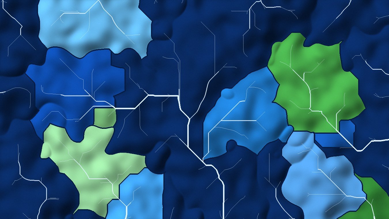
Why your delineated stream network doesn't match the real river

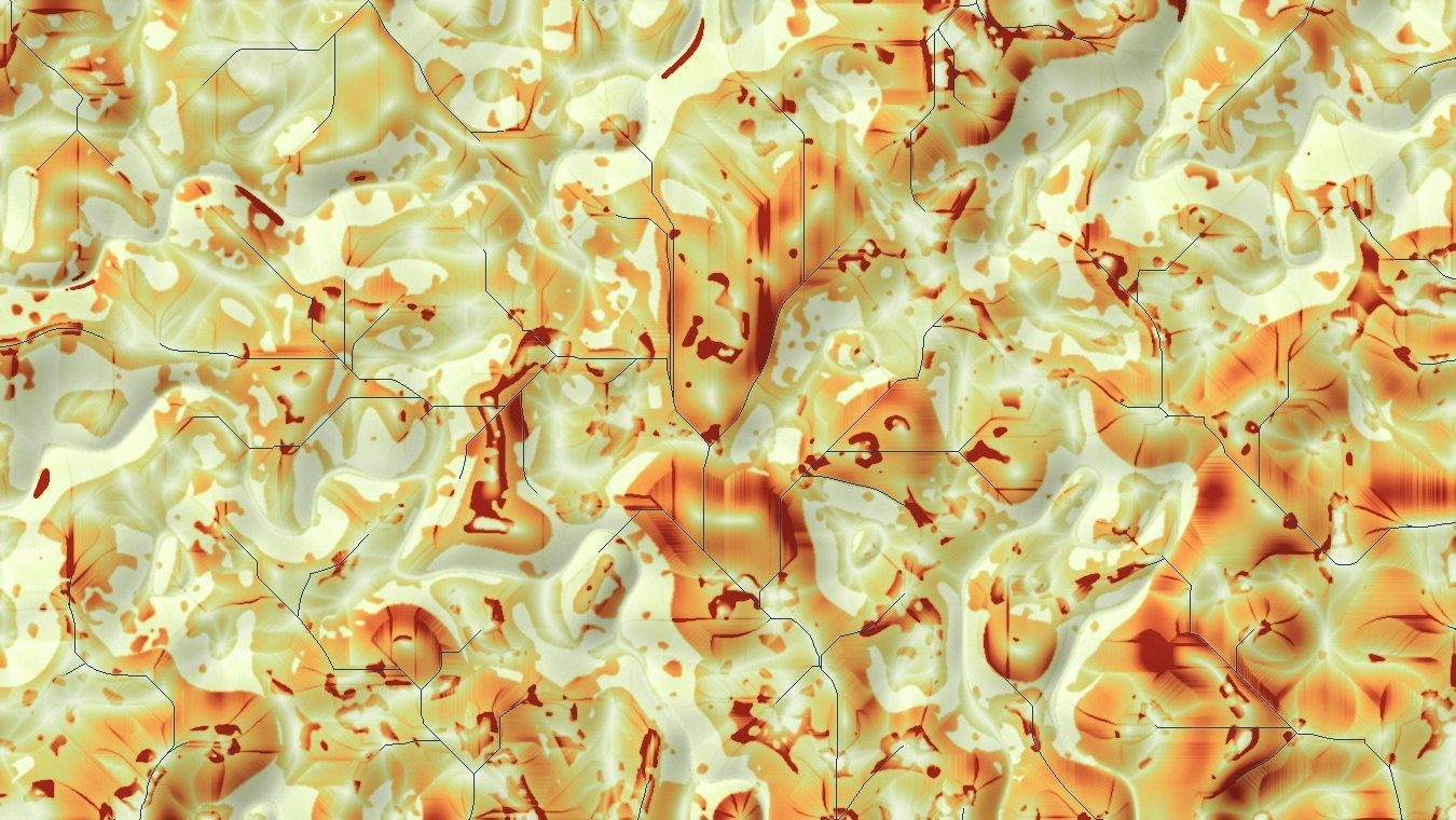
Sinks, flat areas and road embankments quietly derail hydrological delineation. A practical sequence for conditioning a DEM before flow direction is ever computed — and how to tell whether the conditioning worked.
When to automate a GIS workflow — and when not to

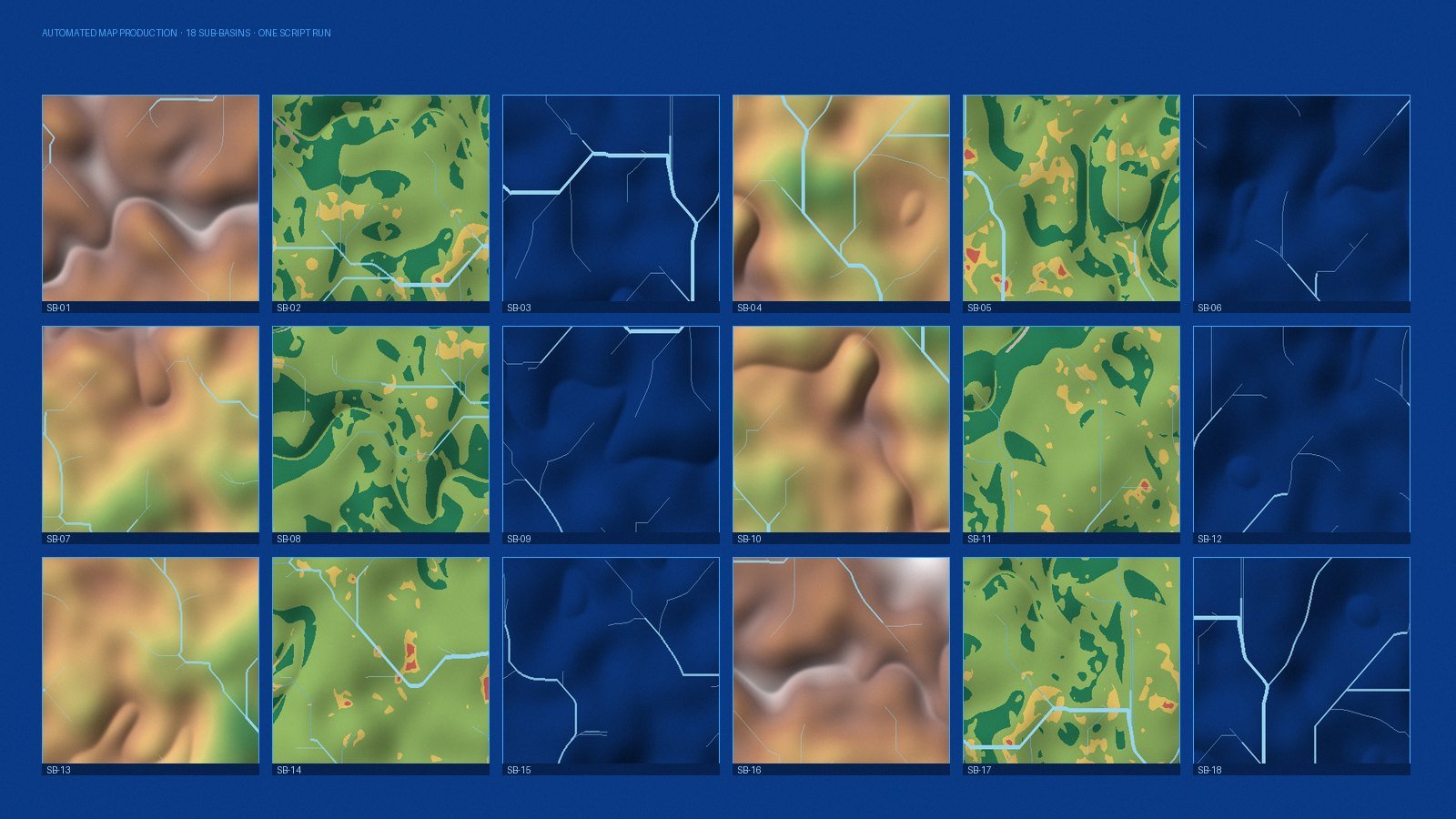
Automation pays back on repetition, reproducibility and risk of manual error. A short framework for deciding whether a task deserves a script, a model, or just an afternoon of careful clicking.

More notes are published as projects finish. If there is a topic you would like covered, tell us.

Working through one of these problems?

If any of the above sounds like the project on your desk, we are happy to talk it through before there is any scope or proposal involved.